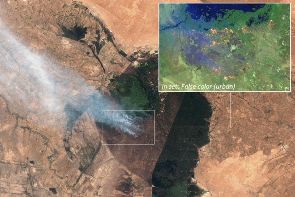
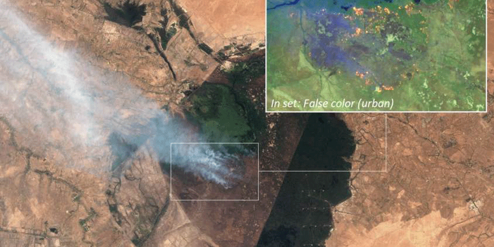
Wildfires were widespread in Iraq during the summer of 2018, this blog analyses the fires using open source methods.

Since late June, the media has reported on wildfires in northern parts of Iraqi Kurdistan along the border with Turkey, along the border with Iran in the northeast and in the southeast of Iraq at the Hawizeh marshes, bordering Iran. A hazardous cocktail of climate change-induced summer heat, water shortages, military shelling by various armed groups operating in these areas, combined with random human errors and spontaneous outbreaks have left the earth scorched. This blog provides a short open-source based overview based on media reporting on various locations in Iraq, combined with the use of satellite imagery provided by the European Space Agencies’ Sentinel-2, NASA’s Visible Infrared Imaging Radiometer Suite (VIIRS) suite, and commercial imagery provided with by Planet Labs.


