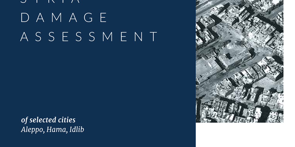
Residential and industrial areas of Syria’s major cities have been damaged during the conflict.

The objective of the Damage Assessment (DA) of selected cities is to provide information on the effects of the current crisis on population, physical infrastructure, and quality of service delivery in those cities. It is a broad brush and remote-based exercise, drawing mostly on existing secondary sources of information including satellite imagery, social media analytics,existing public information, and – whenever available – partner organizations’ data. The assessment data is aggregated in a digital geospatial platform that allows for the collection,monitoring and regular updates of the damage information. This assessment has been conducted at three distinct times during the evolution of the crisis. Phase 1 was conducted in December 2014, Phase 2 in March 2016, and Phase 3 in February 2017. The first phase of the assessment established pre-crisis baseline data on assets and facilities, and estimated damages across six cities and six sectors as of December 2014. The second phase was an update of the December 2014 assessment, and provided a more recent snapshot of damages and quality of services as of March 2016 by using the baseline established in the first phase. The third phase updates the damage information of the second phase for three cities: Aleppo, Idlib and Hama.


