Members urge states and the IUCN to address conflicts and biodiversity
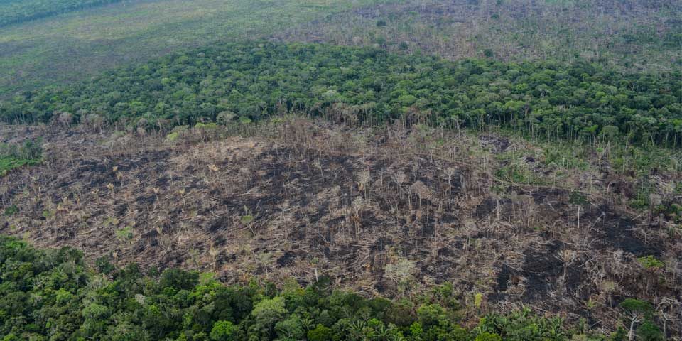
Armed conflicts pose a threat to biodiversity and hamper conservation efforts. New legal norms intended to protect the environment in relation to armed conflicts could provide greater protection for biodiversity hotspots and are the subject of a motion ahead of this year’s World Conservation Congress.

